English
  日本語
日本語  한국어
한국어  français
  Deutsch
  Español
  italiano
  русский
  português
  العربية
  ไทย
ไทย 
Aerial imaging has come a long way from the grainy photographs of the past. Today, the demands for precision and clarity in aerial imaging are higher than ever, with applications ranging from cartography and agriculture to surveillance and environmental monitoring. In this blog, we explore how Line Scan Lenses, with their unique capabilities, play a pivotal role in providing a comprehensive and detailed view from above.
Aerial imaging has become an indispensable tool in various industries, transforming the way we perceive and interact with our surroundings. From mapping vast terrains to monitoring crop health, the applications are vast and diverse. The introduction of Line Scan Lenses has been a crucial turning point, offering a technological evolution that ensures unparalleled clarity in capturing images from the air.
At the heart of capturing detailed and high-resolution images from the sky is the Line Scan Lens. Unlike conventional lenses, Line Scan Lenses ensure that each pixel is captured with utmost precision, eliminating the distortions that can occur with fast movement or varying distances. This section explores how the Line Scan Lens acts as the engine driving the precision required for effective aerial imaging.
One of the primary applications of aerial imaging is in cartography. The ability to capture detailed and accurate maps from the sky is essential for urban planning, land surveying, and environmental analysis. Line Scan Lenses excel in this realm, providing the sharpness and clarity needed to create detailed maps that serve as crucial resources for decision-makers.
In agriculture, precision is key to optimizing yields and resource utilization. Aerial imaging, empowered by Line Scan Lenses, offers farmers a bird's-eye view of their fields. This vantage point enables the monitoring of crop health, identification of potential issues, and precise application of resources. This section delves into how Line Scan Lenses contribute to the advancement of precision agriculture.
Aerial surveillance and environmental monitoring require a level of detail and accuracy that traditional imaging methods may struggle to provide. Line Scan Lenses, with their ability to capture continuous lines of pixels, excel in these applications. This final section explores how Line Scan Lenses go beyond borders, ensuring that aerial imaging contributes to enhanced security and effective environmental stewardship.
In the realm of aerial imaging, seeing the whole picture is not just a goal; it's a necessity. Line Scan Lenses have emerged as the catalysts for achieving unprecedented clarity and precision from the sky. Whether mapping vast terrains, monitoring crops, or ensuring the security of borders, Line Scan Lenses play a vital role in capturing the intricate details that define the landscapes below. As technology continues to advance, the future of aerial imaging, powered by Line Scan Lenses, promises to be clearer and more comprehensive than ever before.
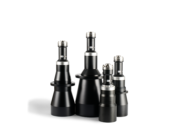
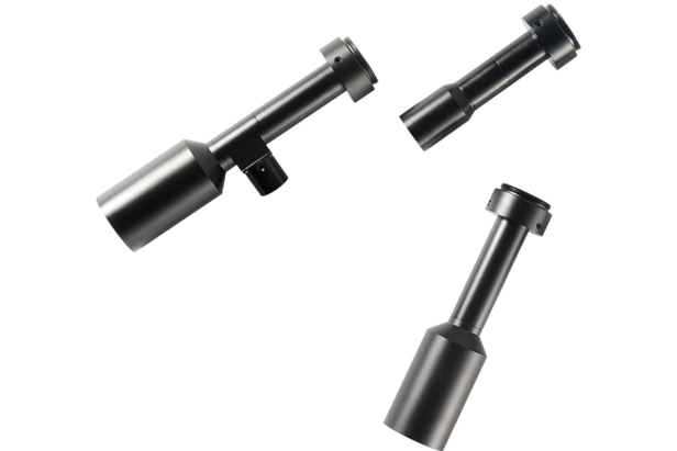
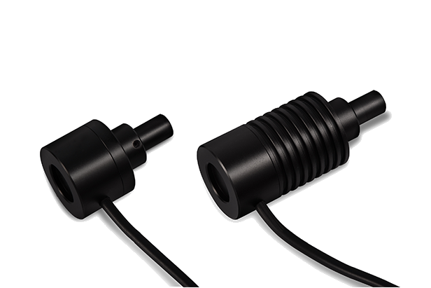
Related Machine Vision Telecentric Lens Products